The “DGPS GNSS” project was created to meet the requirements of coordinate systems in the world of modern technology.
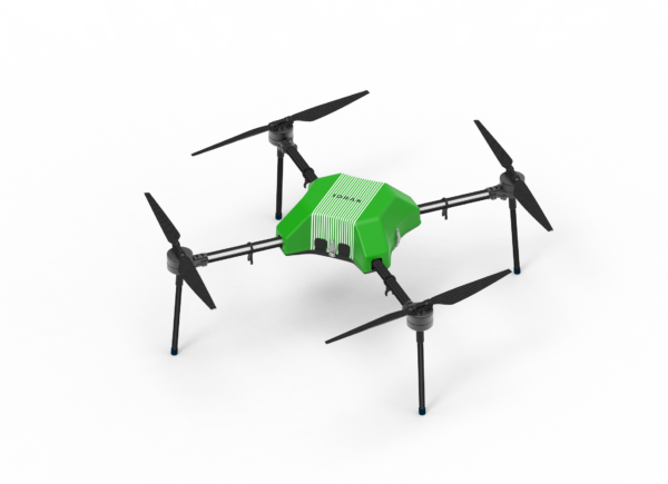
One of the main examples of possible applications of precision coordinate systems is unmanned aerial vehicles, which allow many tasks to be performed offline. These tasks include:
Using an accurate coordinate system, it will be possible to control drones without increasing the risk of collisions with other objects.
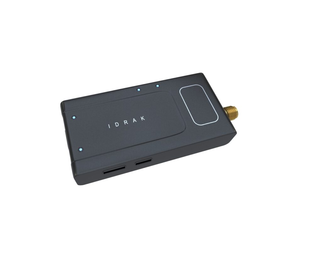
The main receiver has predefined static coordinates. That is, no signal is received from satellites to obtain these coordinates. Coordinates from satellites are also used to compare static coordinates and detect existing errors.
Rover coordinates are the second DGPS GNSS receiver obtained from satellites only. Integrates with remote objects for tracking purposes.
The coordinates received by the rover are also sent to a special computer, where they are corrected depending on the level of error received from the main receiver. There is a link between the main receiver and the Rover, which allows calculating the errors of the obtained coordinates with an accuracy of 1 cm.
The exact coordinate system differs from the normal coordinate system in that the signal is checked simultaneously with two DGPS GNSS receivers. The first is a database that receives signals from DGPS GNSS. The second source was Rover, which received coordinates from both the DGPS GNSS and the base station.